
🗺 Part of the Growth List Startup Lists Collection All Startup Lists | By Funding Stage | Sales Outreach | Startup Intelligence
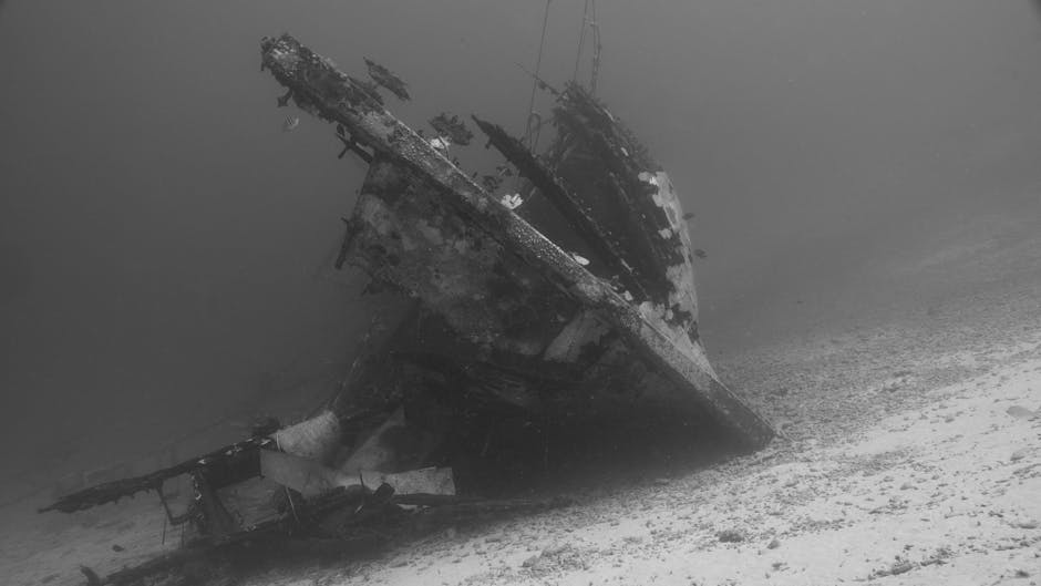
When the Mary Rose sank in the Solent in 1545, the silt that swallowed her hull also sealed the skeletons of around 179 crew. Modern isotope analysis of their teeth revealed that Henry VIII’s flagship was crewed in part by sailors who grew up in North Africa and southern Europe — but African signatures could only be matched against a handful of reference points on a continent-sized map. That changes now. A new map of strontium isotope ratios across Sub-Saharan Africa, published by a UC Santa Cruz–led team, makes that signal readable across most of the continent for the first time.
How teeth record geography
Strontium exists in bedrock in several isotopic forms, and the ratio between them reflects the age and chemistry of the rock underneath. Water carries that signature into plants. Animals eat the plants. Humans eat both. The strontium ends up fixed in teeth during childhood, where it stays. Match the ratio in a tooth to a ratio on a map, and you get a probability surface for where that person grew up.
The new map is the first bioavailable strontium isoscape covering all of Sub-Saharan Africa. The team behind it modeled the surface using 11 predictive variables and strontium data from more than 2,000 samples collected across the continent. The project took over a decade and pulled in more than 100 scientists across institutions. Of the 24 countries the new samples came from, 16 had no prior strontium isotope data on record.
The “data marginalization” problem
Vicky Oelze, the UC Santa Cruz anthropology professor who conceptualized the project, described what she called “data marginalization” of the region: missing lab equipment, missing samples, logistical barriers, and in some cases armed conflict that made fieldwork dangerous. Her quote on the starting baseline is worth reading directly:
“When we started this project, for all of Western Central Africa, there were only two data points, and they were both in Nigeria.”
Two data points. An entire sub-region of a continent. That is the gap the new map closed. The team folded in existing data from south and east Africa, layered in additional Angola data, and added fresh samples from 24 countries in western and western central Africa.
Back to the Mary Rose — and what the new map changes
The Solent skeletons matter here because they show how long this method has been waiting for a reference layer that covers Africa. Strontium and oxygen isotopes from Mary Rose crew teeth pointed to childhoods spent in North Africa and southern Europe, but the African end of that match was always blurry. With the new isoscape, future analyses of similar remains — Tudor-era, slave-trade-era, or modern — can be matched against a continent-wide grid rather than a handful of dots in Nigeria.
Hannes Schroeder’s earlier work at Newton Plantation in Barbados, cited by National Geographic, analyzed 25 individuals and identified seven who likely spent their childhoods in Africa. Until now, that was about as specific as anyone could get. The new map narrows the target.
Demonstration cases: Charleston and Rio
The research team ran the map against two real datasets to show what it can do. At the Anson Street African Burial Ground in Charleston, South Carolina, cross-referencing strontium data with the new map narrowed two individuals’ likely origins to Eastern Guinea or a sliver of Côte d’Ivoire and southern Ghana. At Pretos Novos cemetery in Rio de Janeiro, four individuals were projected to different parts of Angola, suggesting the reach of the intra-continental slaving network and the deliberate severing of community ties before transatlantic transport.
Lead author Xueye Wang, a UC Santa Cruz postdoctoral fellow, framed the goal in plain terms: “Through this study, we aimed to go beyond academic inquiry, seeking to reclaim the voices of those silenced by history and to provide them with a rightful sense of belonging.”
What the map makes possible
The reach of the isoscape extends well beyond the Mary Rose or Tudor-era shipwrecks. Confiscated ivory, pangolin scales, and bushmeat can be isotope-tested and matched against the map to locate poaching hubs — applied science already operational at agencies and NGOs working on wildlife trafficking. For descendants of enslaved people in the Americas, strontium analysis of tooth enamel, combined with genetic and historical records, opens a path to higher-resolution African origin estimates that DNA alone cannot deliver. And the team behind the map specifically mentioned Mediterranean drowning victims as a use case: identifying remains and repatriating them is currently a manual, under-resourced process that this reference layer can accelerate.
Each of these applications has been waiting on the same thing — a continent-wide baseline. With one in place, every downstream method that depended on a thin scatter of dots can move from theoretical to deployable.
The dominant European narrative — Africa pouring north — is wrong on the numbers. A 2025 working paper analyzing UN DESA data found that in 2024, around 25 million Africans were living in an African country outside their country of birth, exceeding the 20.7 million living outside the continent by roughly 21%. Of the 12.2 million African refugees and asylum seekers worldwide, almost 87% remained on the African continent. Sudan and the Democratic Republic of Congo alone account for almost 80% of internal displacement in Africa.
Intra-African movement is the larger story, and the new isoscape is built precisely for reading it — both in the historical record and in the present.
What the map cannot do, and where it goes next
The map has limits. Strontium values vary inside a single region, so a single isotope reading rarely identifies a precise birthplace. Alex Bentley at the University of Tennessee, Knoxville, told National Geographic that combining strontium with oxygen, nitrogen, and carbon — a multi-isotope approach — increases resolution. The map provides a probability surface, not a pin. There are also ethical limits: disturbing burial sites remains a fraught act, and any researcher or institution using this method needs a protocol for sample provenance and consent.
Oelze named the next priorities: the Sahel, Sudan, and Mozambique remain data-poor. The team plans to keep working with local archaeologists to fill those gaps. As more data comes in, the model gets sharper, and the questions it can answer — from the identity of a Tudor sailor to the home village of a person buried in a Brazilian cemetery — get more specific. A decade of work has produced a v1. The v2 will keep redrawing what was thought to be unknowable about where people came from.
The skeletons the Solent silt sealed in 1545 have been studied for four decades, their teeth read for climate and coastline and diet. For the crewmen whose isotopes pointed south, toward childhoods in North Africa and southern Europe, the match was always a direction without a destination, a continent-sized map with almost nothing on it. The new isoscape does not name a village or a birth year. It gives the blurry African end of those old signals, for the first time, somewhere on solid ground to land.